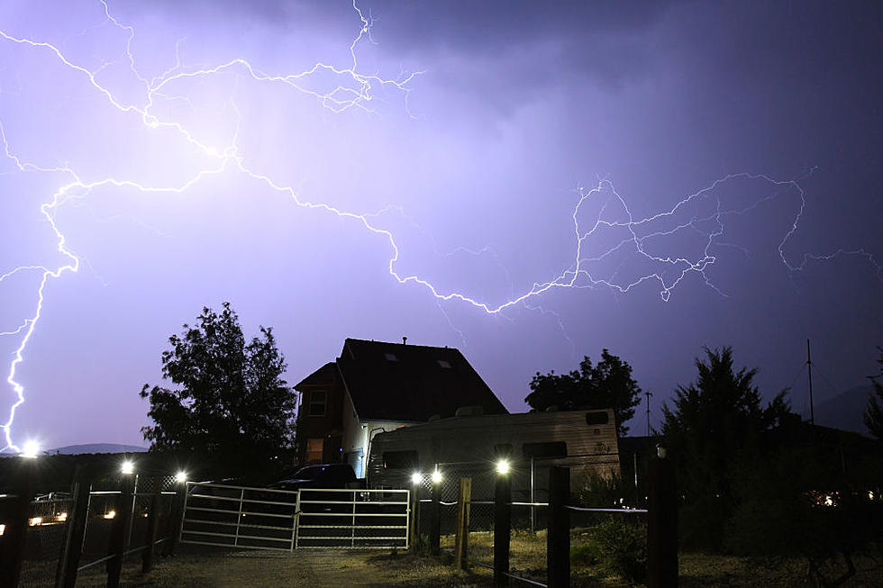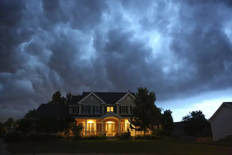
Weather Alert Issued for Sunday Evening
The National Weather Service has issued a weather alert for the Hudson Valley. After a wonderful sunny weekend it looks like there is a good possibility that we are going to cap it off with a good old Hudson Valley style thunderstorm. A lot of counties are effected including Sullivan, Ulster, Dutchess, Columbia and Greene. This Thunderstorm Watch is in effect until 9 PM tonight. The rain and possibility of a storm stays in the forecast through tomorrow.
This is the forecast posted for Poughkeepsie by the National Weather Service for the next day or so.
Tonight
A chance of showers and thunderstorms. Some of the storms could produce small hail, gusty winds, and heavy rain. Mostly cloudy, with a low around 66. South wind 6 to 10 mph. Chance of precipitation is 50%. New rainfall amounts of less than a tenth of an inch, except higher amounts possible in thunderstorms.
Monday
A chance of showers and thunderstorms. Some of the storms could produce gusty winds. Partly sunny, with a high near 84. Southwest wind 8 to 15 mph, with gusts as high as 25 mph. Chance of precipitation is 40%. New rainfall amounts of less than a tenth of an inch, except higher amounts possible in thunderstorms.
Monday Night
Partly cloudy, with a low around 52. West wind around 9 mph.
Tuesday
Sunny, with a high near 67. Northwest wind 11 to 16 mph, with gusts as high as 26 mph.
More From WZAD-WCZX The Wolf