Weather Advisory Overnight for Hudson Valley
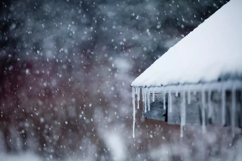
Spring is here and we have had some really nice warm weather days but it still isn't May which is why I am not surprised I am about to say this, the Hudson Valley has a Frost warning for tonight. A Frost advisory goes into effect over night through the early morning. Delicate spring blooms and flowers could be affected. Mother nature has given us some beautiful spring blooms but she may just cause a few to wilt early if they can't hold up in cold temperatures we are expecting overnight.
The National Weather service has us getting bag of weather over the next few days but the temperatures tonight are what could put a damper on all the spring blossoms.
Tonight
Areas of frost after 3am. Otherwise, mostly cloudy, then gradually becoming clear, with a low around 35. Northwest wind 3 to 6 mph.
Monday
Areas of frost before 8am. Otherwise, increasing clouds, with a high near 60. Calm wind becoming south around 6 mph in the afternoon.
Monday Night
Showers likely, mainly after midnight. Cloudy, with a low around 44. South wind 5 to 7 mph becoming light and variable after midnight. Chance of precipitation is 70%. New precipitation amounts between a tenth and quarter of an inch possible.
Tuesday
A chance of showers, mainly before 11am. Mostly cloudy, with a high near 64. Calm wind becoming north 5 to 7 mph in the afternoon. Chance of precipitation is 30%. New precipitation amounts of less than a tenth of an inch possible.
Tuesday Night
A chance of showers, mainly after 2am. Mostly cloudy, with a low around 46. East wind 3 to 6 mph. Chance of precipitation is 40%. New precipitation amounts of less than a tenth of an inch possible.
Wednesday
A chance of showers. Mostly cloudy, with a high near 57. Chance of precipitation is 40%. New precipitation amounts of less than a tenth of an inch possible.
More From WZAD-WCZX The Wolf