
Special Weather Statement Issued for Parts of the Hudson Valley
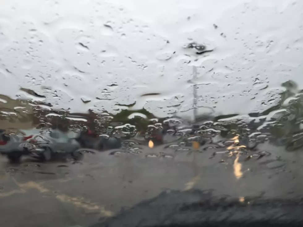
This kind of surprised us this afternoon. We noticed the skies getting a little darker than normal, but figured that just some rain was on the way. It could be a little more than that.
The National Weather Service has issued two Special Weather Statements for both Dutchess County in New York and Litchfield County in Connecticut. The first is until 3:15 this afternoon due to a storm that was located near Hopewell Junction, moving east at 35 MPH. The second is until 3:45 for the northern portions of those counties, due to a storm located in Rhinebeck and moving east at 30 MPH.
Not only could these storms dump a lot of rain in a short time frame, but it could also bring small hail and wind gusts up to 40 MPH, which could result in reduced visibility while driving, some debris on the roadways as well as the possibility of falling tree limbs.
While this certainly isn’t like the storms we get in the summer, it could make the roads slick and when combined with reduced visibility, it’s not a good combination.
If you see severe weather developing in your area, please take cover and be safe before you report your conditions to the National Weather Service.
Top 5 Hudson Valley News Stories
More From 97.7/97.3 The Wolf


![Tornado Watch in Effect in the Hudson Valley [UPDATE]](http://townsquare.media/site/706/files/2016/07/Untitled.jpg?w=980&q=75)