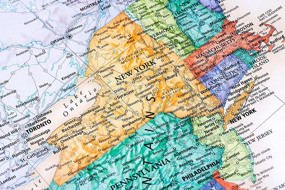
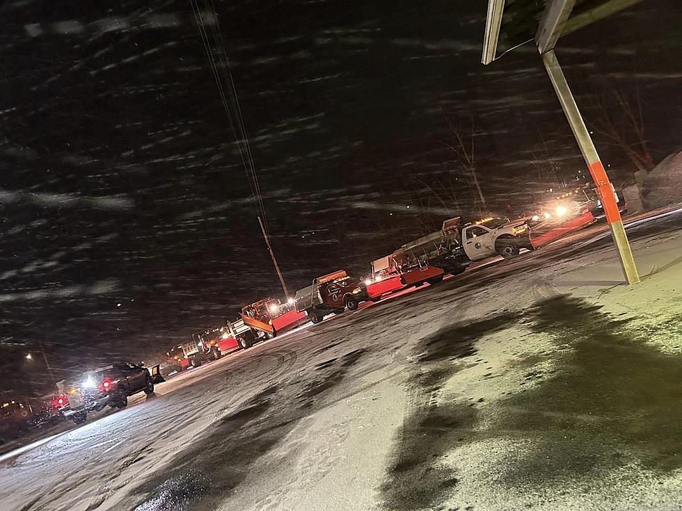
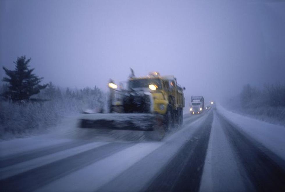
More Winter Weather on the Way
So once we get through the weekend it looks like we will need to locate the snow scrapers and shovels again. Depending on where you are in the HUdson Valley you will see snow and a wintery mix head through by Tuesday morning into Tuesday night. It looks like winter weather begins overnight on Monday but Tuesday seems to be the day that will be the most impacted by the winter weather mix.
We will keep you up today on our mobile app and through the storm center with closings and delays but planning ahead for the beginning of the work week to be effected by some winter weather seems like a smart plan. Below are some NOAA forecasts for the region.
Monday
Partly sunny, with a high near 37. North wind 3 to 7 mph.
Monday Night
A chance of snow after 1am. Mostly cloudy, with a low around 17. Northeast wind around 6 mph. Chance of precipitation is 30%.
Tuesday
Snow before 4pm, then snow and sleet. High near 30. Chance of precipitation is 90%. New precipitation amounts between a half and three quarters of an inch possible.
Tuesday Night
Snow and sleet before 1am, then freezing rain and sleet. Low around 30. Chance of precipitation is 90%.
Wednesday
A chance of rain and snow before 1pm, then a chance of snow. Partly sunny, with a high near 40. Chance of precipitation is 30%.
Monday
Partly sunny, with a high near 36. Northeast wind 3 to 6 mph.
Monday Night
A chance of snow after 1am. Mostly cloudy, with a low around 16. Northeast wind around 6 mph. Chance of precipitation is 40%.
Tuesday
Snow before 4pm, then snow and sleet. High near 29. Chance of precipitation is 90%. New precipitation amounts between a half and three quarters of an inch possible.
Tuesday Night
Snow and sleet before 1am, then freezing rain and sleet. Low around 28. Chance of precipitation is 90%.
Wednesday
A chance of rain before 1pm, then a chance of snow. Mostly cloudy, with a high near 39. Chance of precipitation is 30%.
Monday
Mostly cloudy, with a high near 36. Wind chill values between 20 and 30. Calm wind becoming northeast around 5 mph in the afternoon.
Monday Night
A 40 percent chance of snow, mainly after 10pm. Mostly cloudy, with a low around 21. East wind 3 to 5 mph.
Tuesday
Snow before 4pm, then snow and sleet. High near 31. Chance of precipitation is 90%. New snow and sleet accumulation of 3 to 7 inches possible.
Tuesday Night
Freezing rain and sleet, mainly before 4am. Low around 30. Chance of precipitation is 90%.
Wednesday
A chance of freezing rain and sleet before 7am. Mostly cloudy, with a high near 42. Chance of precipitation is 30%.
Wednesday Night
Mostly cloudy, with a low around 22.
Hazardous Weather Forecast
A storm is expected to impact the region Tuesday and Tuesday night
with a widespread moderate to significant snowfall possible. A
period of mixed precipitation including sleet and freezing rain
is also possible Tuesday night.
More From WZAD-WCZX The Wolf