Timeline For Snow in Hudson Valley, Area May See Around 8 Inches
Parts of the region could see around a half-foot of snow mix with ice leading to dangerous commutes. Here's the timeline for the storm.

Hudson Valley Weather believes snow will begin Tuesday from Southwest to Northeast from 10 a.m. to 1 p.m, moderate snow is expected for the Hudson Valley from noon until 4 p.m., light snow will fall on and off from 4 p.m. until early Wednesday morning with snow showers tapering off from 6 a.m. to 10 a.m. on Wednesday.
Around 1 inch of snow could fall per hour during the peak of the storm with lighter snow falling late Tuesday afternoon into Tuesday night. Snow could mix with sleet south of I-84 Tuesday afternoon.
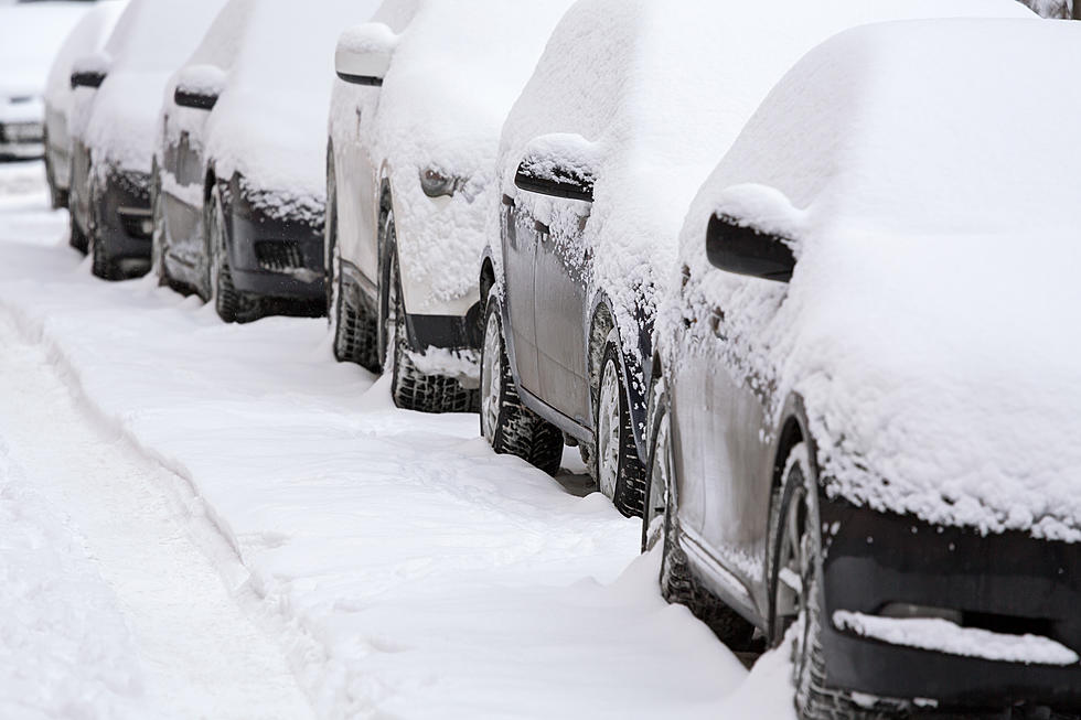
With temperatures in the 20s snow will stick to all surfaces and could make roads icy.
"Tuesday PM and Wednesday AM commutes could be hazardous," Hudson Valley Weather wrote on Facebook.
Hudson Valley Weather believes most of the Hudson Valley will see 2 to 6 inches of snow, with 1 to 3 inches expected in the Lower Hudson Valley and 4 to 8 in the Catskills.
The National Weather Service issued a Winter Weather Advisory for the entire Hudson Valley.
A Winter Weather Advisory is in effect for Dutchess, Ulster, Columbia and Greene Counties from noon on Tuesday until 10 a.m. Wednesday.
The National Weather Service issued a Winter Weather Advisory for Orange, Putnam, Rockland and Westchester Counties from 7 a.m. Tuesday until 6 a.m Wednesday.
The National Weather Service from Sullivan County issued the Winter Weather Advisory from 10 a.m. on Tuesday until 10 a.m. Wednesday.
The Weather Channel is predicting 2 to 6 inches of snow for Orange, Dutchess, Ulster, Putnam and Sullivan Counties.
The 100 Best Places to Live on the East Coast
Signature Drinks From Every State
More From 97.7/97.3 The Wolf