Is a Late Summer Heatwave In Store for New York State?
After a round of heavy rain and thunderstorms moved through the region early Wednesday morning, New York state and areas across the Hudson Valley enjoyed a beautiful afternoon.
Highs Thursday will stay in the 70s, under partly cloudy skies, with some very cool and crisp nights ahead. Meteorologists say the beginning of the holiday weekend should continue to see dryer weather, with slightly below-average highs as well across the area.
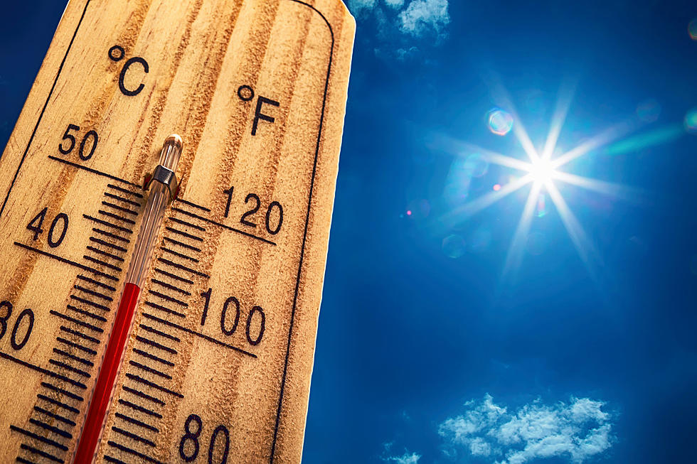
But the early taste of Autumn will not last not for long. According to forecasts, could some of the hottest temperatures this summer actually be coming as we enter September?
The month of August did not have one single 90-degree day in Poughkeepsie, believe it or not. According to Extreme Weather, the last 90-degree day was on July 29.
Heatwave to Arrive in the Hudson Valley?
The Weather Channel says that highs Labor Day Monday could approach 90 F. From there, we could see temperatures climb into the low 90s through as late as Thursday of next week, according to TWC's 10-day forecast.
Lows will remain in the upper 60s overnight, as humid air returns.
See Also: When Was the Last Time It Reached 100 Degrees In Poughkeepsie?
While these numbers could go up or down between now and then, this is far removed from the beautiful forecast most of New York state should see through the long weekend.
According to TWC, temps should start to drop a bit by Saturday of next week, as a chance for thunderstorms returns. As we look ahead into the week of Monday, September 11, daytime highs should return to normal, according to forecasts, though it is still too long of ways out to really give an accurate prediction.


