Waterspout Spotted Over Parts of the Hudson Valley [VIDEOS]
*** UPDATE 7/21: The storm has been officially classified as an EFU tornado, not a waterspout, by the National Weather Service. The U stands for unclassified, since there was no damage for the NWS to assess. ***
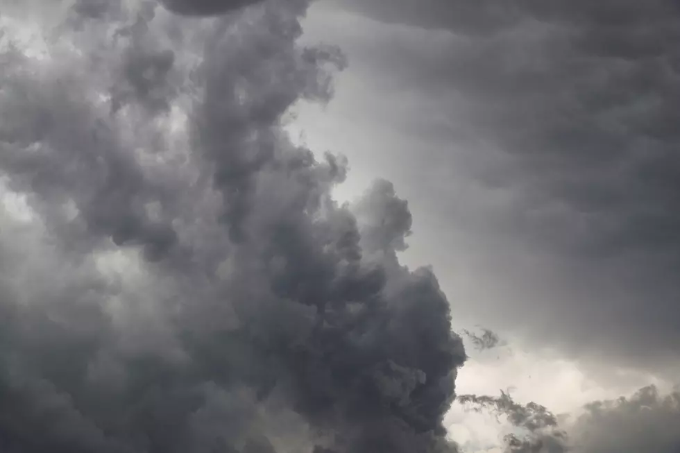
Monday's severe thunderstorms brought torrential rains and flash flooding to areas across the Hudson Valley, as some locations reported several inches of rain in just a few hours. While most parts of the area were under a Severe Thunderstorm Watch, meteorologists had warned to be on the lookout for possible tornadoes as well. Just last week, an EF1 tornado briefly touched down in Ulster County, causing extensive damage and power outages. Sometimes tornadoes can touch down with little to no advanced warning.
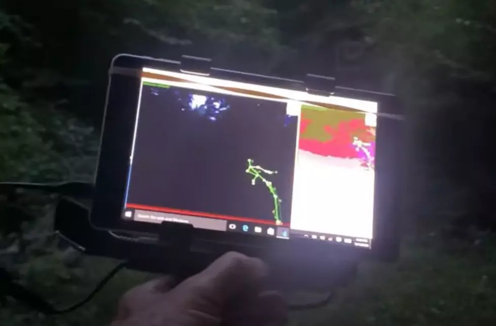
Waterspout in the Hudson Valley
A waterspout is a column of rotating air over water. While not usually as strong as tornadoes formed over land, waterspouts can cause damage if they happen to move ashore. While most waterspouts form over the tropical areas of the world, they can pop up just about anywhere, and even form and move over lakes and rivers. In Monday's case, a waterspout was reported over the Hudson River.
*** Update: Second Video Added From Hudson Valley Weather ***
The video below was shared on the Hudson Valley Weather Facebook of a waterspout that developed over the Hudson River, just southeast of Port Ewen. Both websites such as HVW and the Weather Dork had reported that some of the storms in the Ulster/Dutchess area Monday afternoon were showing some signs of rotation.
While there was no actual Tornado Warning at the time, the storm appears to have spawned a brief funnel that touched over the river. There is no indication if the waterspout ever moved on shore, though it appears to have been weak and short-lived.
*** SECOND VIDEO NEAR KINGSTON AND PORT EWEN ***
How Are Tornadoes Rated?
Tornadoes have been rated since 2007 by something called the Enhanced Fujita Scale, which measures the amount of damage a tornado causes. Before 2007, it was simply known as the Fujita Scale. An EF-0 is the weakest on the scale, while an EF-5 is the strongest.
The most powerful tornadoes can produce winds in excess of 300 MPH and have been known to sweep foundations completely clean while tossing multi-ton structures tens of thousands of feet into the air. While many of the tornadoes that have struck New York state are generally on the weaker end of the scale, could a large tornado strike and do major damage? Some of it depends on location.
So, What's the Most Powerful Tornado to Ever hit NY?
There have been three recorded F4s that have touched down in New York state, according to the Democrat and Chronicle. The first happened on August 28, 1973 in Columbia County over mostly open land, before moving into Massachusetts. Another F4 first touched down near Erie, Pennsylvania May 31, 1985, and then moved over the state line into New York. This was part of deadly outbreak of tornadoes that hit NY, PA, OH, and Ontario that same day.
The third was a nearly mile-wide tornado that touched down in Montgomery County on July 10, 1989. The storm would stay on the ground for 42 miles, traveling four counties (Greene, Montgomery, Schoharie, and Albany Counties).
You also have to consider that many of these weather records generally only go back to the late 1800s, so there is no telling how many storms hit before those times.
Other Tornadoes of Note
- EF-2 July 8, 2014, in Madison County killed 4 people.
- EF-2 hit Brooklyn on August 8, 2007, causing heavy damage and would become the costliest tornado to ever hit New York City.
- An F3 that traveled through Mechanicville, Stillwater, and then on to Vermont on May 31, 1998. Also, an F3 went through Binghamton that same day.
- EF-2 Westchester County and Connecticut tornado July 6, 2006.
- EF-2 Brooklyn tornado September 16, 2010
- Two F3s - North of Syracuse May 2, 1983
KEEP READING: What to do after a tornado strikes
More From 97.7/97.3 The Wolf