Parts of Hudson Valley Could See Severe Weather Later Today
Now correct me if I'm wrong, didn't we just have a freeze warning issued for the area less than a week ago?
I've said this before, mother nature is a mad scientist, and recently we've seen a volatile mixture of weather with everything from freeze warnings to a tornado that touched down about a week ago just south of Amenia.
Now we're seeing unseasonably warm weather in our area, and that means a lot of instability in the atmosphere. We're looking for temps in the 80's for today, which is about 15 to 20 degrees above where they should be this time of year.

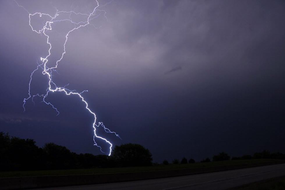
So you know when the weather gets this hot it makes conditions ripe for severe weather, and that's just what the National Weather Service is calling for later today and tonight, especially in areas of the Hudson Valley including Putnam and Dutchess County.
If you live in Orange, Putnam, Dutchess, or Ulster County, you are under a severe weather alert.
According to the National Weather Service, there is a possibility of a strong to severe thunderstorm late this afternoon or early this evening. The storm could produce heavy downpours, gusty winds, and possibly even some hail. There's even a coastal flood advisory for the shorelines in southern Westchester County as well as coastal areas of Fairfield County Connecticut.
Now not everyone in the area is under a severe weather alert. As far as timing for the frontal system, expect unsettled conditions between 6-9 PM, and the further north of I-84 you live, the better the chance of seeing one of these thunderstorms.
After another unsettled day tomorrow with more showers in the forecast, mother nature will be at it again as temperatures are predicted to get down to the upper 30's, low 40's by Friday night.
KEEP READING: Get answers to 51 of the most frequently asked weather questions...
More From WZAD-WCZX The Wolf